![]()

My original plan for the evening was to head out to the western side of the island for the evening, find a chunk of the beach, and watch the sun set under the backdrop of the bridge. A couple things ended up making me reconsider this. One, every weekend Romeo is going to come up with this idea. Given that the road is just a few feet from the shore, I had the feeling that things would be a little crowded and busy. Secondly, the lack of any lighting would be a blessing and a curse. It would be great for star gazing, but for coming back over the 2 or 3 mile trek, it would royally suck. Thus, with some help from my friend Kym who used to work on the island for whole summers at a time, I revised our plan for the evening.

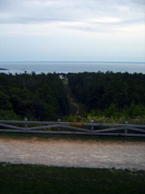
We instead headed to Fort Holmes Condor, the absolute highest point of the island. In the picture, you can see Rifle Ridge Trail, one of the paths we took to get here. It was just under a half mile from our room. The trail was cute in the evening, but you'll notice that we are now near the center of the island. No street lights. Made the trip back a little more... interesting. We'll get back to that later though. While most of the island is on a very high bluff, Fort Condor is on its own bluff that is higher yet. In this picture, you can see the same lighthouse on Round Island that I had taken a picture of earlier on our bike trip.

Fort Condor is the much smaller of the two forts on the island. What is left now is roughly the size of a basketball court. Aside from the massively dense tree coverage behind the fort, your view from atop this second bluff is almost entirely unobstructed making it a significant strategic vantage point. The British used their knowledge of the heavy tree coverage behind them to launch a sneak attack against the Colonial forces and retake the island at one point. The sheer number of steps to get up here made us go from "bundled up because it's getting chilly" to "oh man I'm warm". From up here, you had a view of almost the entire island, the other islands around Mackinac Island, Mackinaw City, and of course the bridge.

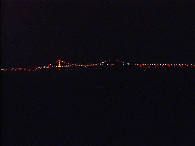
Unfortunately, with everything being as overcast as it was, watching the sunset wasn't really an option. It still was a nice view, especially watching the lights on the bridge come on. Every now and then the moon would also peek through the haze. Since Jen didn't know what we would be doing for the evening, I had planned ahead and brought along an extra fleece pullover for her since I figured it would get chilly. I also brought along some wine and a blanket for us to sit on top of the fort and watch the world go by.

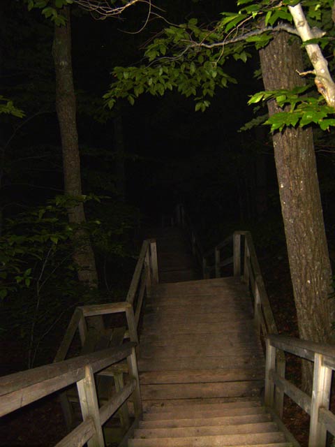
As awesome as it was, it was also REALLY dark. No lights, no moon, and exceptionally dense forests made for essentially pitch black travel on the way back. I took this picture with the aid of the flash on the stairwell down from the fort through the trees. Rifle Ridge Trail was also just as dark but with the bonus of having somewhat uneven terrain as well as the occasional large rock in the path for good measure. To help prevent us for utterly killing ourselves on the way back, I used the preview window of my digital camera and a rather bright picture to be a mini flashlight. Fortunately, it stays on for about a minute before it goes out to save power.

Over half of the trip back was done with only the aid of the camera. At a certain point, as we got closer to downtown, some of the roads had the occasional street light. This was nice, as avoiding gifts from the horses was still a very real consideration. As we got to the edge of the lower bluff before we went down the last stairwell to our place, I took this picture of the marina.

Some of the houses on the island are absolutely incredible. At night with all the lights on, the view is even more so. Without a tripod, I did my best to do a long exposure shot of this house without moving. It's hard to imagine what having a house like that would be like. We finally made it back, used the excessively complex showers, and called it a night. Easily one of the better days of my life.