![]()
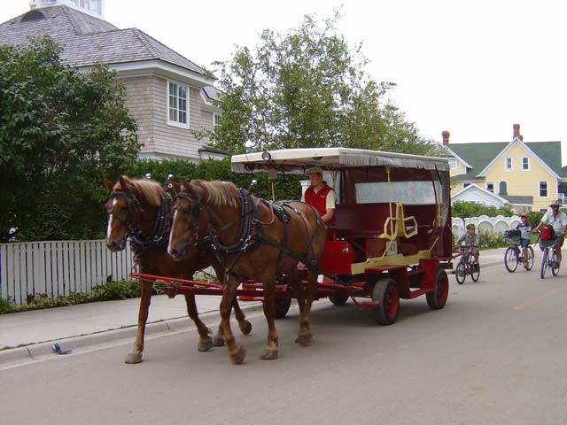
As cars are not allowed on the island, next to bikes, the main method of travel on the island is by horse. If you check in a bike when you get on the ferry, they also give you handy dandy informational pamphlet about biking on the island. Aside from the map that really is quite handy, most everything could have been summed up just by saying "don't do anything stupid." One of the important tips is to always give the horses a wide berth so they don't get freaked out. Normally, this is easy to do... unless you are downtown and people have absolutely no concept about their current use of space. More than once in an effort to not get killed, I ended up with a swat in the face by a beast's tail. And while we are at it, how awesome would it be to have a job as a carriage driver? At first, you would think it's great... until you realize that you will spend your entire day staring at a horse's ass.
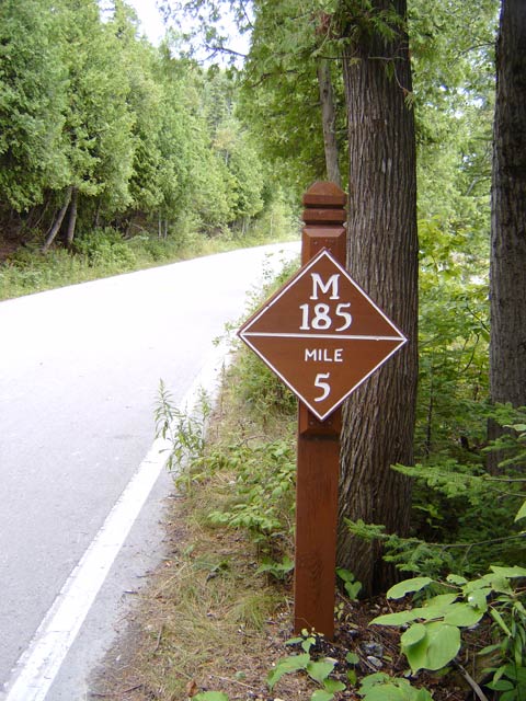
Unlike the first picture on the page, once you get away from downtown, things change dramatically. The most notable change is that the roads are not as wide as you are used to. The roads are not nearly as wide as you would normally expect them to be. With only bike traffic, you don't really need it, but when you are riding side by side with a person and you come along other people doing the same or get passed, all the sudden you realized how cramped the road really is. M-185 is the state highway that goes along the entire 8 mile perimeter of the island. For about 7 miles of the journey, it's just you, Lake Huron, thousands of trees, and an abnormally high level of horse shit in the road.
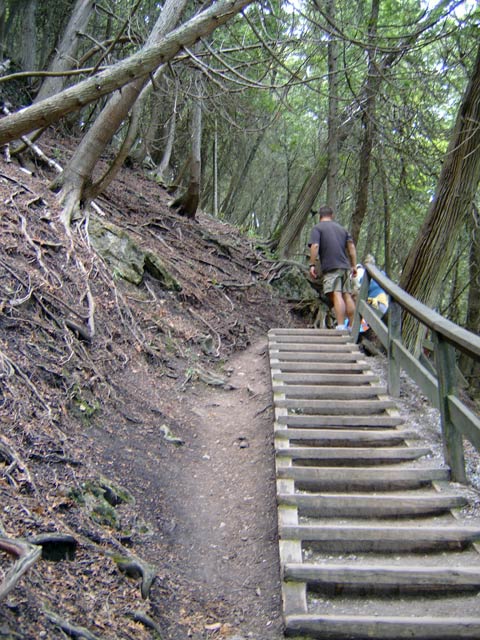
As soon as you head around the corner from downtown and where we were staying, you leave civilization almost immediately and find yourself surrounded by trees. We had gone not more than a mile and found an interesting little scenic turnout. We decided to go for it. It turned out to be a good decision as there were not really any more of note on our trip. The stairwell leading up to Arch Rock and Nicolet Watch Tower starts out normal, but after you get around the first bend, the stairs become what you see here. From constant foot traffic and general weathering, the earth in between the steps has worn itself away making traveling up the 107 steps somewhat difficult (although not nearly as difficult as traveling down the 107 steps). How do I know there were 107 steps? Definitely not because I counted, no, almost every small child we were around took care of that for us. Counting every step. Out loud. I think if they wanted to really piss off people and take away their fun, they would have posted that information at the bottom of the stairwell before you started. Think of all the broken hearts that would create. That, or have it off by one... Just to mess with people...
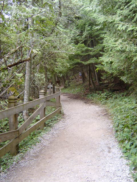
Once you finally make it up, you move along a trail that takes you towards Arch Rock. At least you are done with the stairs.
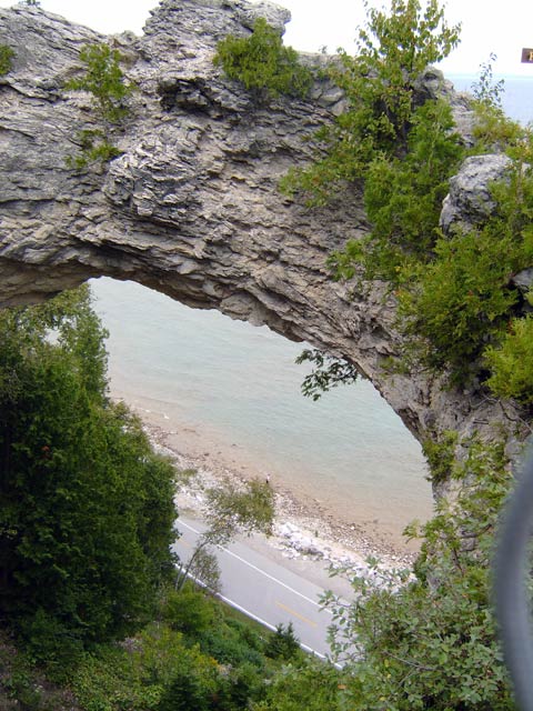
Arch Rock. Creatively named, wouldn't you say? Below you can see M-185.
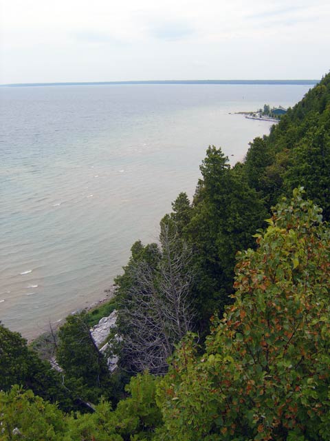
While M-185 travels along the perimeter of the island, most of the island is along a very tall bluff. Considering the general height of most of the island, it's easy to see why this island was a strategic position for the colonial military. From the island, you have a solid view of the lower and upper peninsulas as well as the other flatter island near Mackinac Island. This is the view facing away from Arch rock facing South.
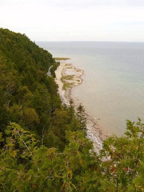
This would be facing North from Arch Rock. You can also get a better perspective of the bluff that the island mostly is as well as Hennipen Point off in the distance.
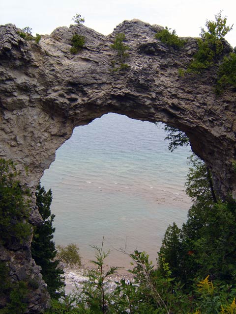
One more picture through Arch Rock.
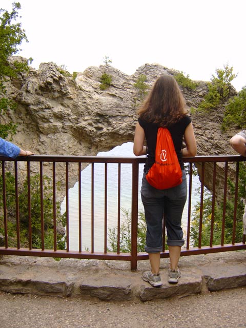
This would be my girlfriend being a total tourist while checking out Arch Rock. Both are pretty magnificent in their own way.
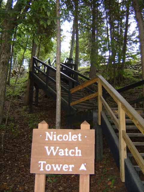
Next to Arch Rock, you can continue up even more stairs to Nicolet Watch Tower. At this point, you have gone up so many, you might as well keep going. Why do you climb the stairs? Because they are there. And because you are only on the island for one day.
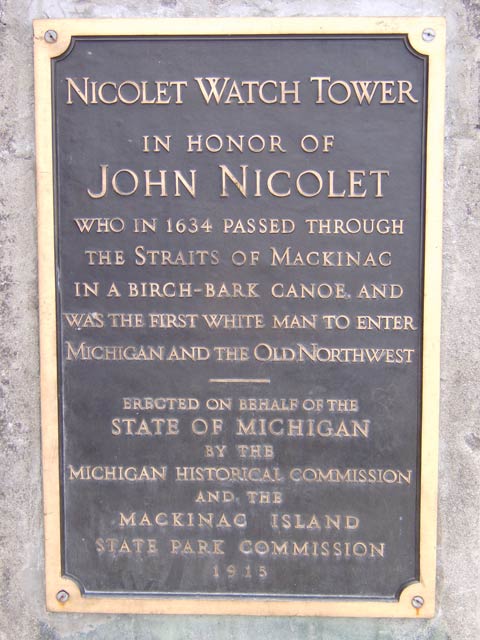
Why did they name it the Nicolet Watch Tower? If only they would have erected some sort of monument to help answer these questions...
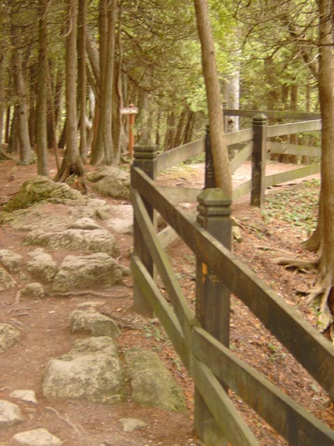
Next to Nicolet, there is another path that you can take that goes who knows where. It looked pretty cool though. I would highly suggest not taking this path at night. Aside from downtown, there are no lights anywhere. This is a rather significant detail that will come in handy later on.